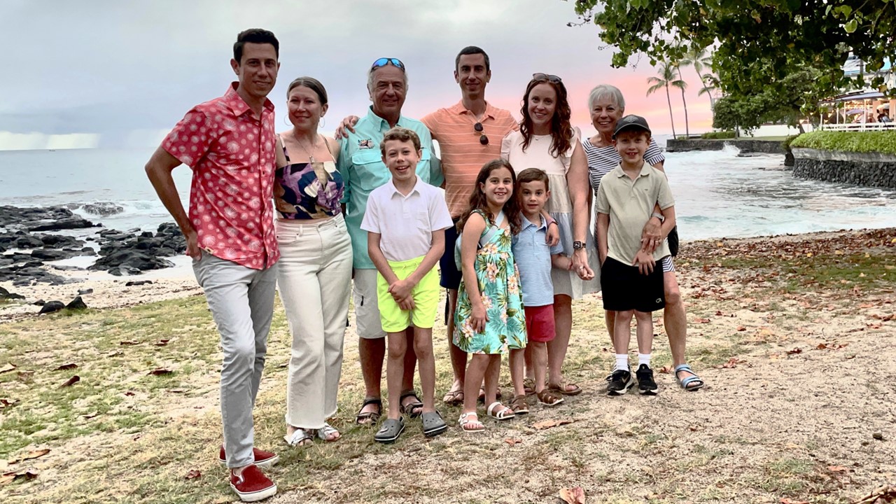
Part 5: Kilauea/Volcanos National Park & Hawaiian Vanilla
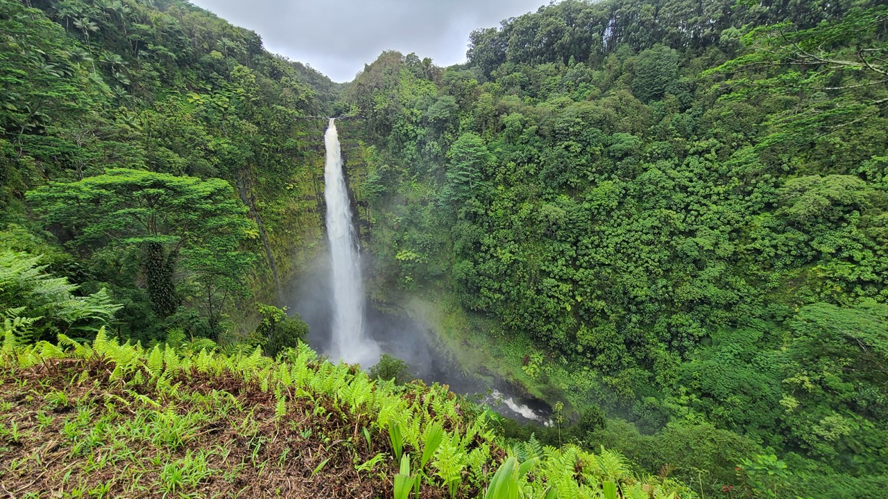
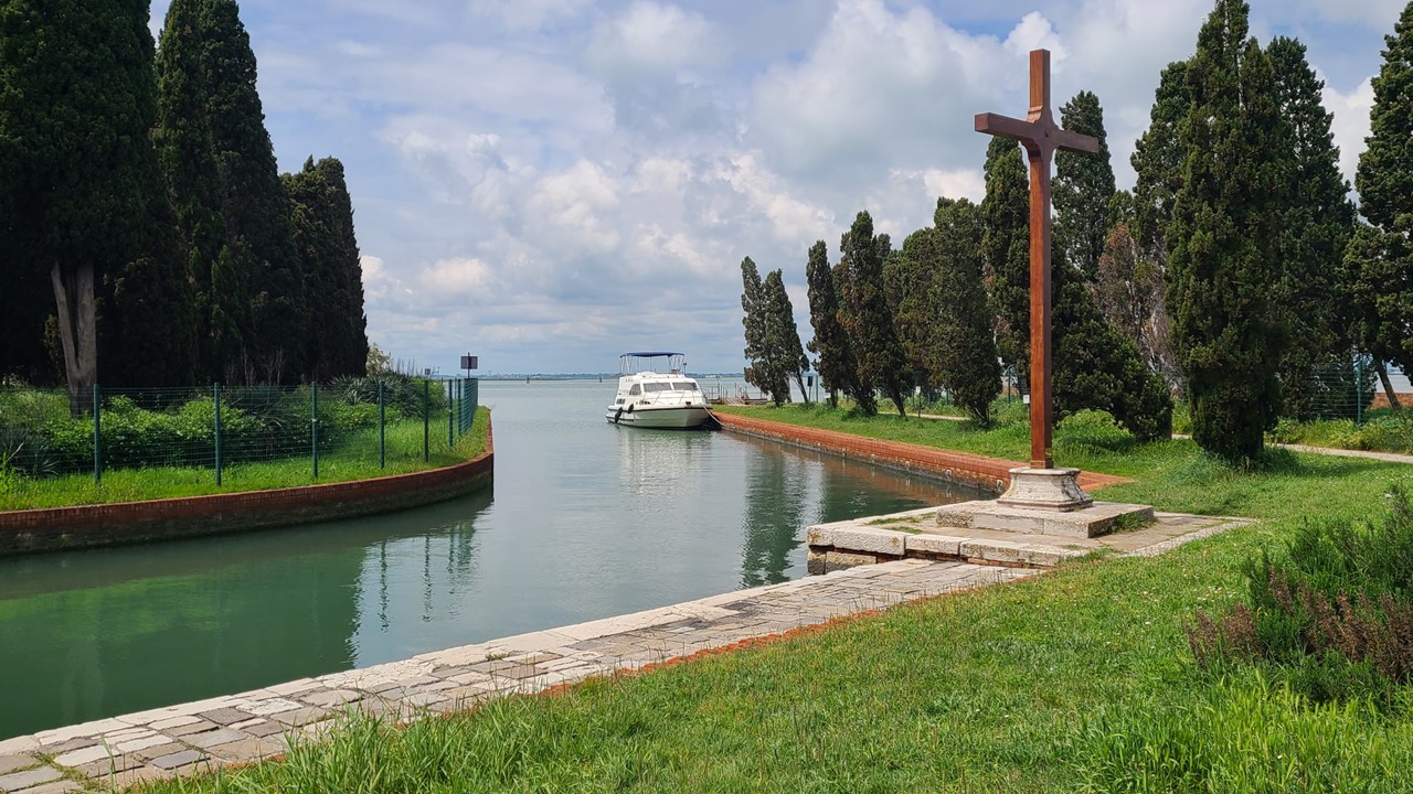
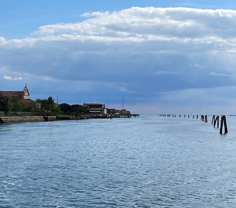
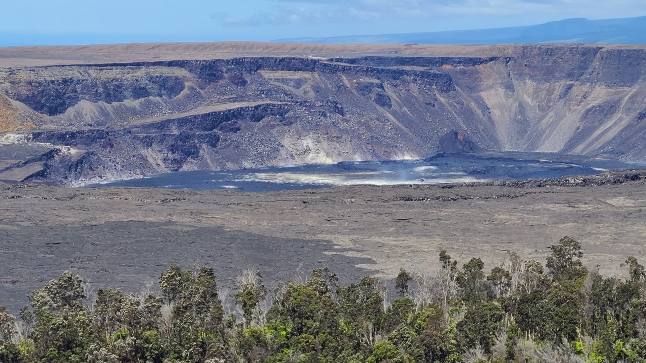
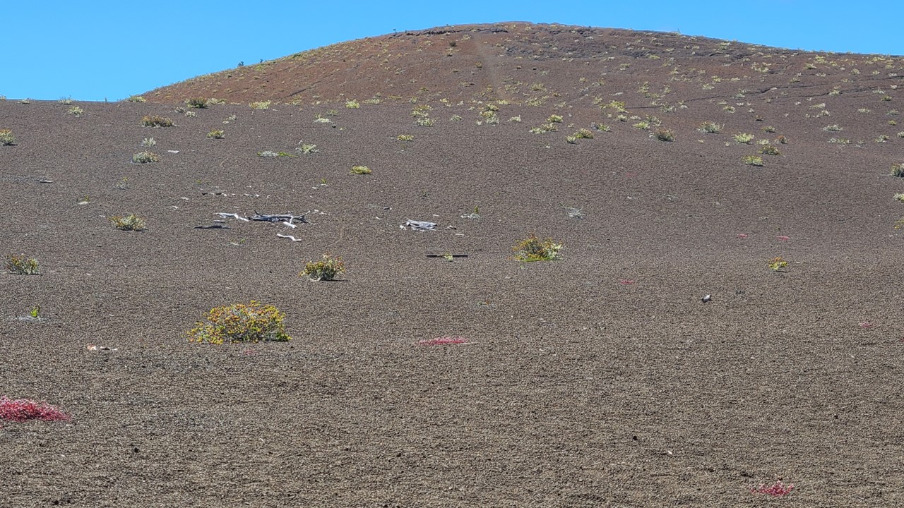
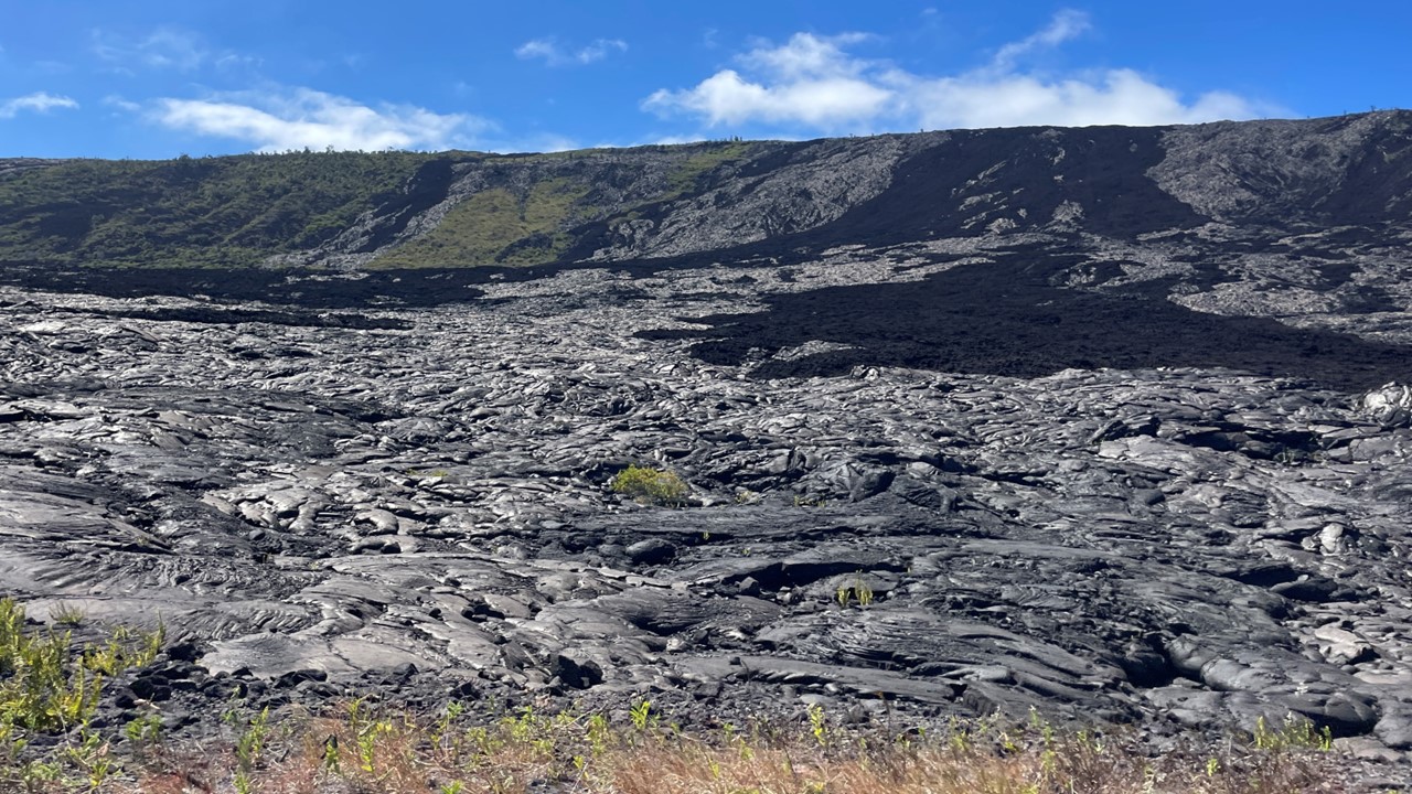
Monday would be our last full day in Hawaii and we decided to spend it exploring Volcanos National Park. We drove south along the coast for about an hour before stopping again at “ “Coffee Grinds” for ice coffee and bagels, (our past experience here was so good we wanted to come here again). After another hour’s drive, we arrived at the Park’s Visitor Center at the Kīlauea Crater where there were a large crowd of visitors and many Rangers to ask questions to. While we were in the park, there were no active eruptions taking place or any visible flowing lava. We quickly walked to The Volcano House, which has a view of the Kīlauea Caldera . The Caldera changes regularly and one could clearly see old roads and structures that had been consumed by the growing crater. We then drove down Crater Rim Drive West to Uēkahuna which overlooks the Halema’uma’u crater. There we met a Ranger getting ready for a 20-minute talk and a walk to the Kilauea Overlook of the Kilauea Caldera. The center located there was condemned due to the caldera’s growth, and was being dismantled. From the Ranger, we learned about the native Ohi’a bush, (a red bottle brush looking flower), and its importance in breaking down recent lava flows. We also learned of more recent eruptions and the continuously , and sometimes rapidly, changing floor of the caldera and magma moves in and out of the magma chamber located beneath it.
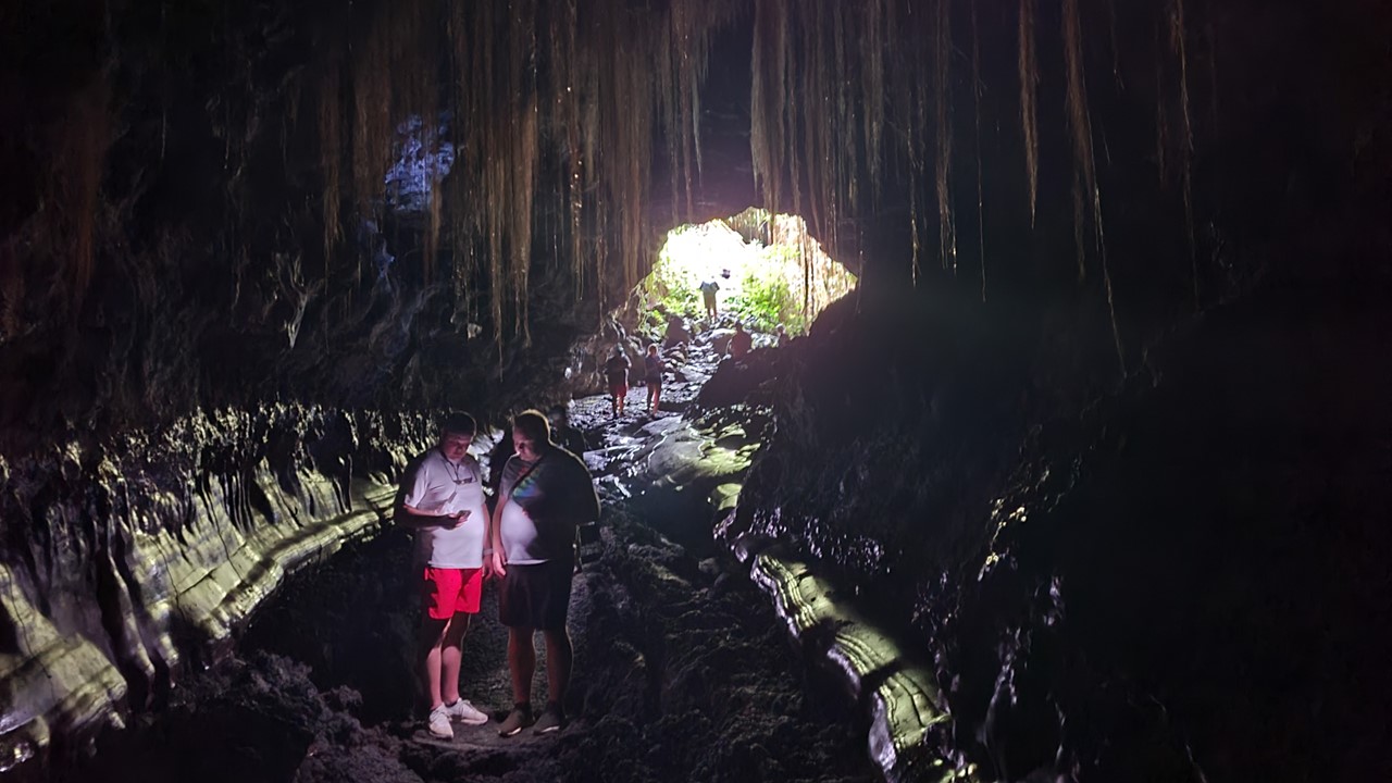
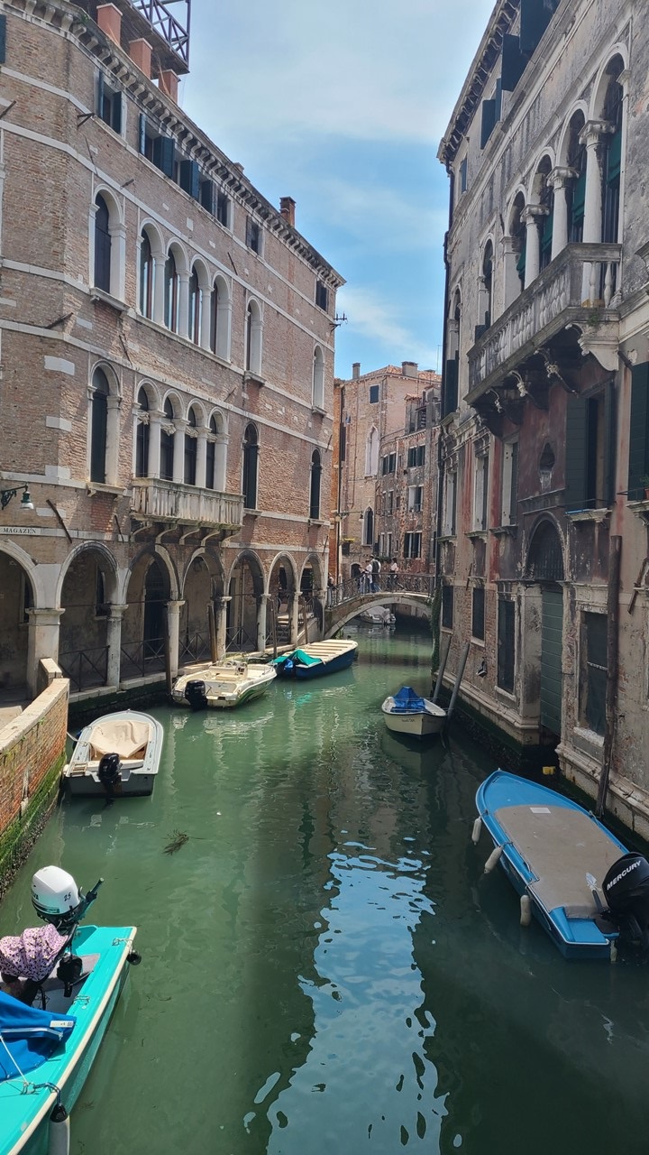
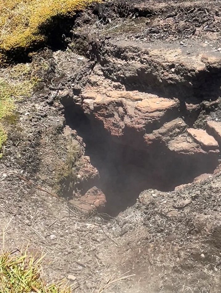
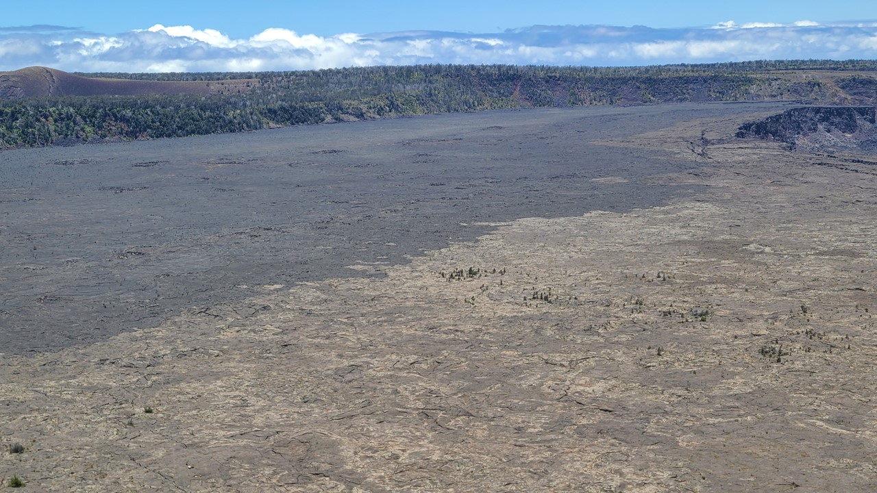
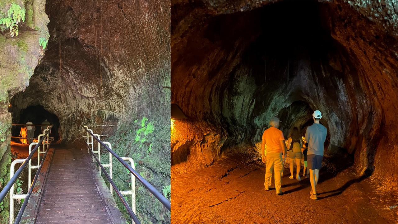
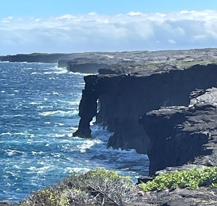
From there we went to the Kūkamāhuākea, (steam vents), which were very active. After hiking along the crater rim and exploring the vents and views, we drove the cars to the Nāhuku Lava tube. Once there, we walked one-way about 1/4 -mile through the dimly lit, and very damp, tube. From there, we drove to Devastation and hiked to an area it aptly describes – nothing but ash flow and not a single living thing! This area was in such contrast to most of the Park which was lush and treed. At this point, while the rest of the family went back to the house to swim, we decided to drive to the end of the road on the east coast, 19 miles ahead, The drive took us through areas covered with lava eruptions that are recent enough that the road ends because it was buried beneath a recent lava flow. There we walked in 30-mile hour winds and 90 degree heat to an outlook to see the Hōlei Sea Arch. After that, we drove the ~3-hours back to the house for a dip in the pool and hot tub. That night, we had dinner at the house of sandwiches from the “Poi Dog Deli” which were a fusion of New Orleans and Hawaiian flavors. Then, everyone began packing for returning home tomorrow.


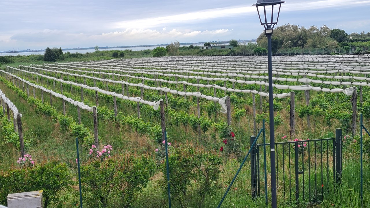
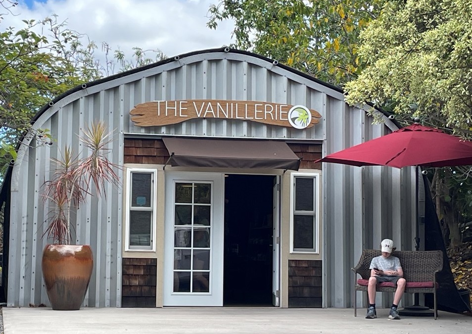
Tuesday morning we ate whatever leftovers and breakfast items that were left at the house, did a bit of cleaning, and said our “goodbyes” to everyone at the house. Both boys and their families had mid-morning departures for heading back to their homes on the East Coast. After everyone was gone, we did a final load of towels/ laundry before departing for a tour of a vanilla farm. The Vanillerie was once a tree farm in the 1990-2000’s, before it transitioned to a vanilla farm. Vanilla is actually a type of Orchid, and it is grown in 4 Quonset huts to provide them the shade that they need. They opened their Vanilla Farm in 2017 with one hut and a series of cuttings. They attach the cuttings to a tower with twist ties and add bark, rock, and drip water. The hut also has overhead sprinklers to wash off the vanilla in case of “VOG” – Volcanic Fog – during or after an eruption.
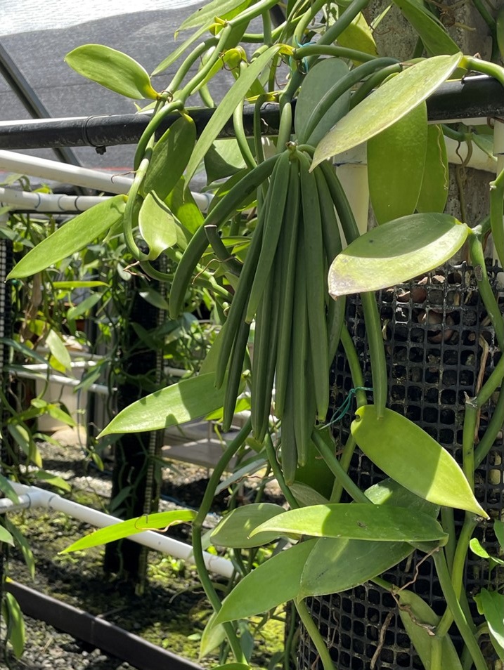
Vanilla was first cultivated in Mexico in 1100’s, and there are 3-types of vanilla from 3 different areas of the world: Mexican, Tahitian, and Madagascarian. All of these taste slightly different, and the Vanillin that gives vanilla its taste can also be found in other plants (spruce trees), and animals (the beaver). It is from these other sources that imitation vanilla is made from. The U.S. uses the most vanilla in the world and it has upwards of 250 different flavor profiles. At the Vanillerie, Hut #1 has vines that are 22-years old and are at its “end of life.” The old vines will be chopped up into 24” pieces to start and propagate new vines. In Huts #2 and #3 are younger plants that produce most of the vanilla beans. In Hut #4 are the newest vines which will have to grow and mature 3-5-years before producing flowers in March-May that can be pollinated. Vanilla loves the tropics, but it can get sunburnt.
When their flowers open, there is only 4-6-hours available for them to be pollinated before the blooms begin to close. Vanilla is hermaphrodite and both the pollen and stamen are within the same flower. Natural pollination is very inefficient (only 2-4% of the flowers), so the plants are pollinated manually, where each flower is manipulated with a small instrument by hand. Good pollinators can approach a 90% success rate this way, but the time window is short and the work exhausting. If pollination is successful, the flower will stay on the shaft then eventually, over several days, a bean will begin to grow. It then takes ~9 months to grow the bean which is harvested when the bean begins to get a yellow tip. The beans are clipped and are dropped in hot water to blanche them. They are then wrapped in packs and placed in a hot box. This process is repeated until the beans weight drops to about half the weight it started with. The beans are then unwrapped and put in a humidifier at 70-80 degrees until their weight drops by half again and they begin to get shiny and pliable. They are then vacuum sealed and sold. Because the process is so tedious and done by hand, the beans are expensive.
They also explained the making of vanilla extract and suggested that a single bean can be used to make extract over and over again for years.
To make vanilla extract, open 1 vanilla bean, chop it into half-inch pieces, then add vodka or bourbon, (high-quality alcohol is better), hide it in the dark turning it upside down monthly for at least 6-months. Then pour the extract into a small bottle, and repeat the process. They suggested that ingesting vanilla is good for depression and for improved immunity.
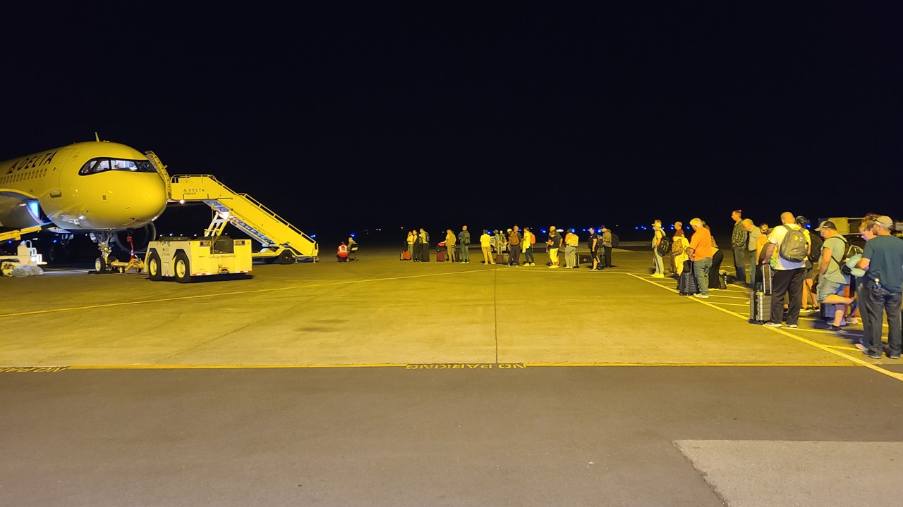
After visiting the Vanillerie, we did some last minute shopping before stopping at The Harbor House at the Marina on Honokōhau Bay for a late lunch. Then we returned our rental car, checked in, and boarded our plane at 8:30pm for our 9:30 pm flight to Seattle. We arrived in Seattle at ~6:00am, found some breakfast, and boarded our plane to Orlando at ~8:00am. However, once we got near Orlando, we were informed of bad storms near the airport, and so we spent an extra hour circling the airport until we were allowed to land the plane. Once landed, we learned that there was still a ground-stoppage in-place for weather and that the gates were all closed. Therefore, we sat parked on the tarmac for another 2-hours until the weather cleared and the ground stoppage ended. We finally arrived home at 9pm.