Marrakesh
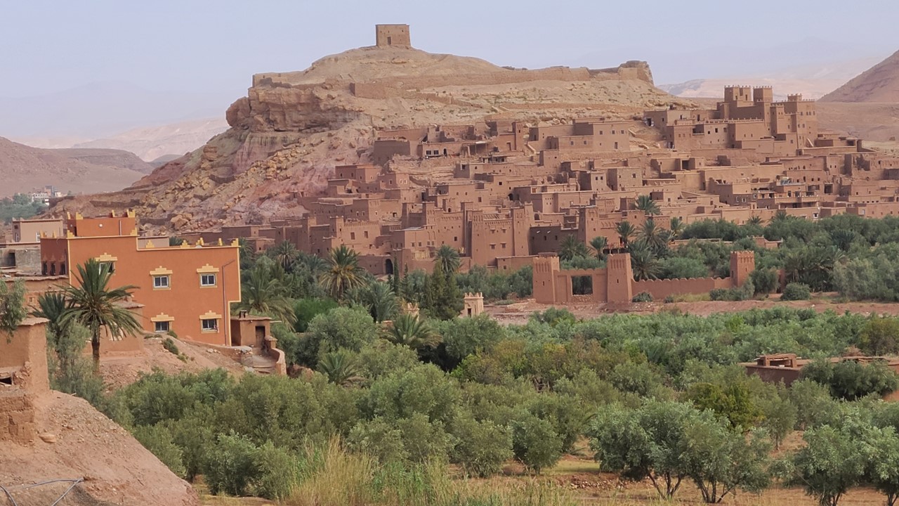
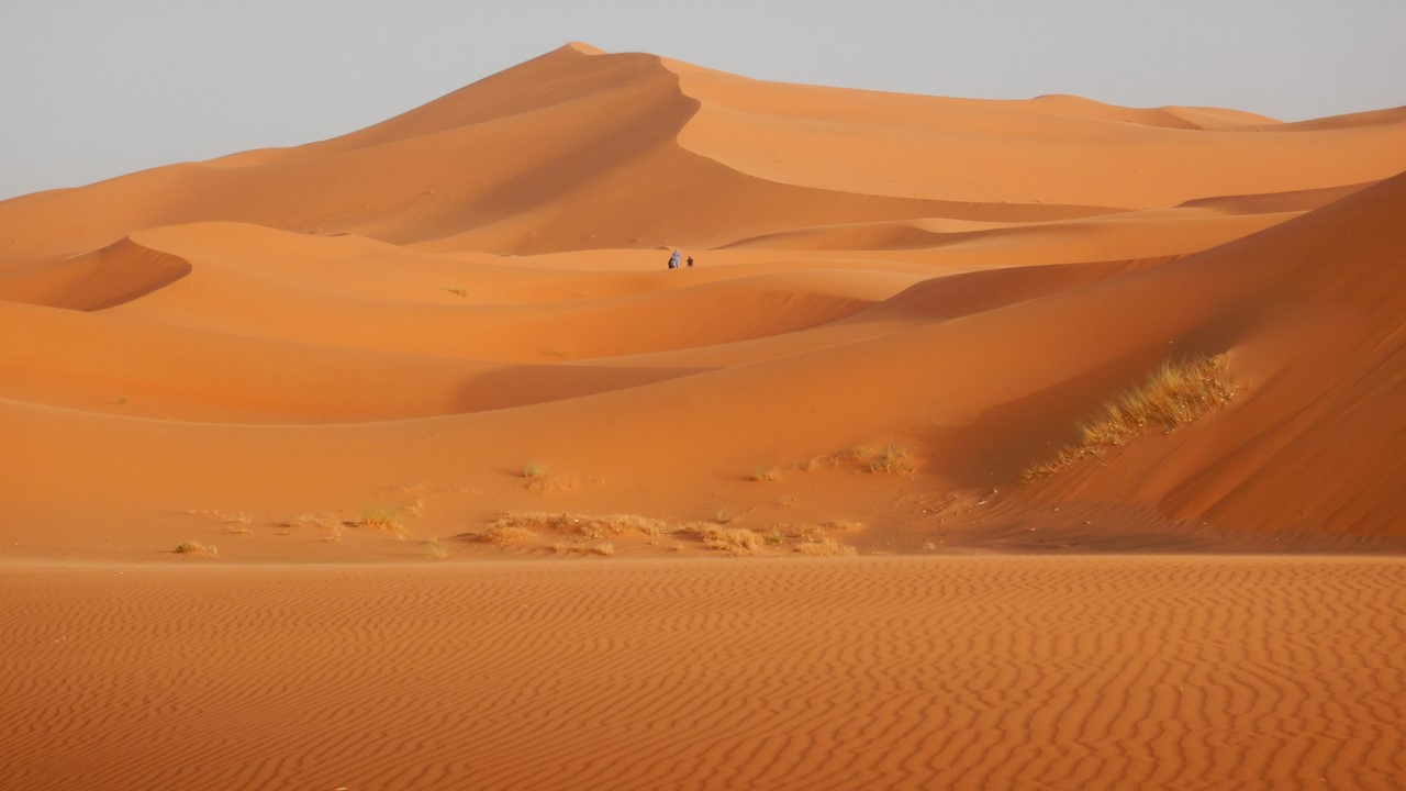
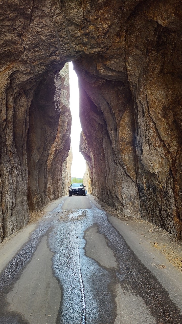
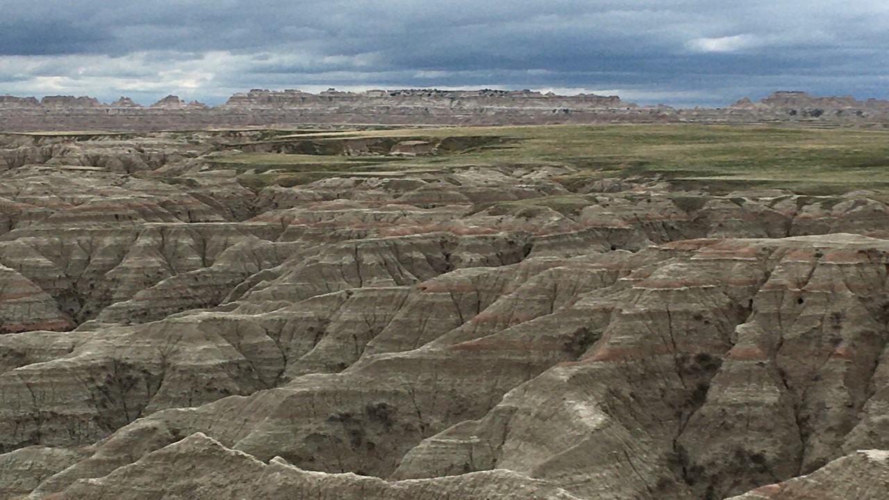
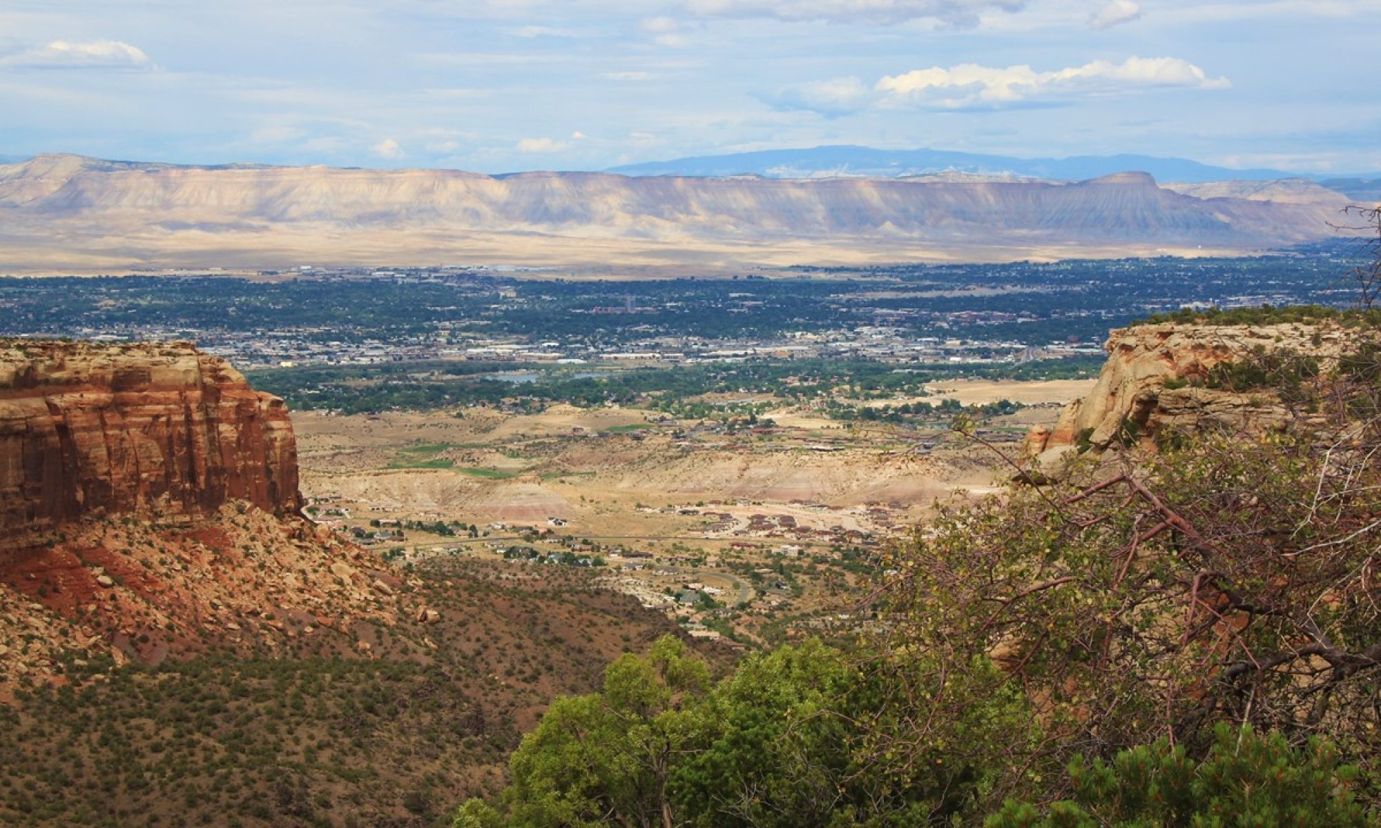
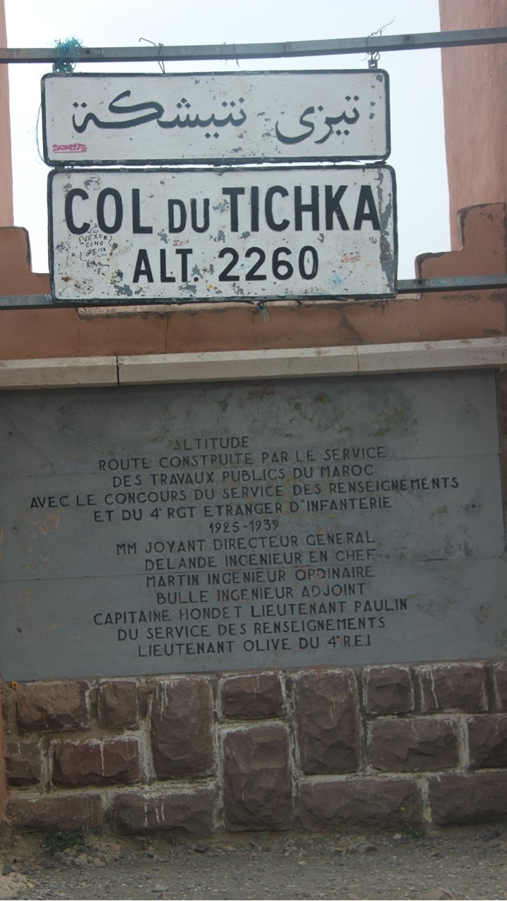
The next morning, we leave for our trip to Marrakesh via the Tizin’Tichka Pass – the highest pass in Morocco at an elevation of 7422 ft. – (“Tizin’Tichka” in Berber means “The Pass of the Lost”). We travel through the High Atlas Mountains for about five hours, pausing to take in viewpoints high above the valleys. The route along the Tizin’Tichka road is winding, hugging the side of the mountains following old caravan trails, but it has recently been improved and is a very scenic drive.

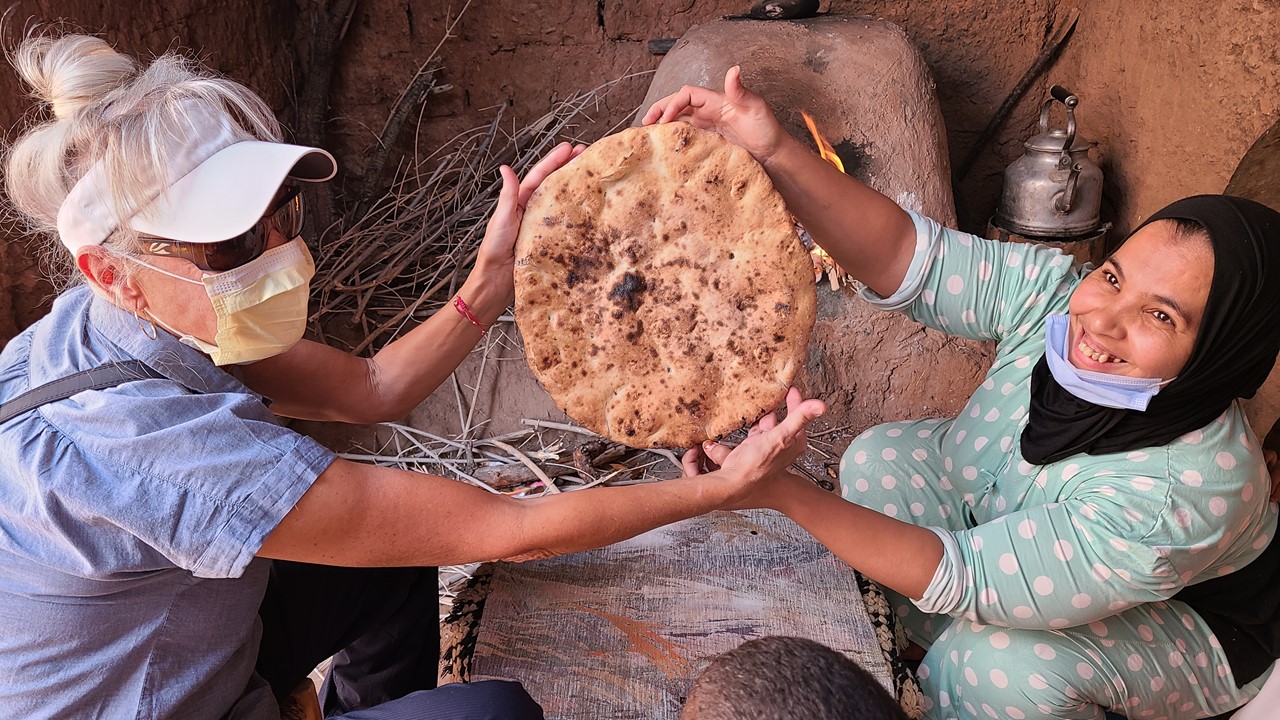
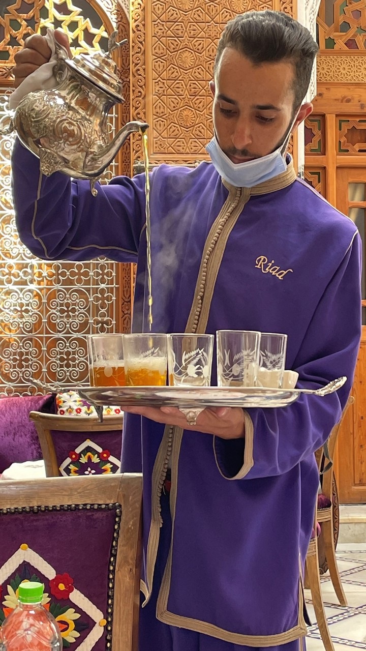
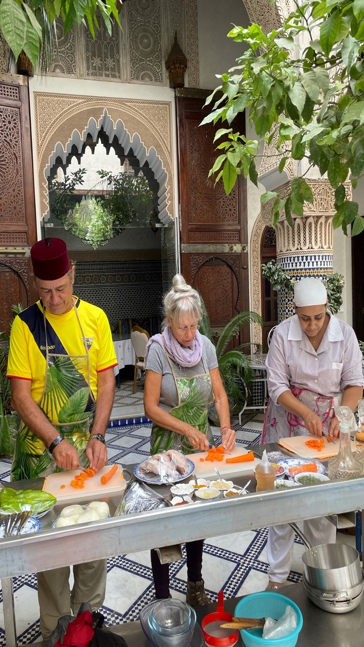
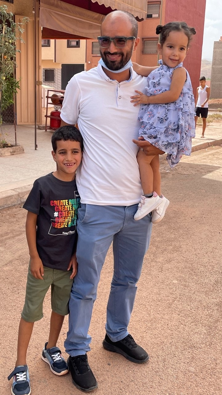
Along the way, we take a side-trip to Ait Ourir, a growing city founded on the outskirts of Marrakesh to stem the explosive growth of urban Marrakesh. This is where our guide, Mohamed, lives with his family in a 4-story house that he saved for years to have built. He resides here with his parents, sister, brother & sister-in-law, wife, and 2 children. He even built a small sundry store on the ground floor for his father to operate. Schools, stores, and mosque are all nearby and it appears to be an excellent place to raise a family. We were greeted by the entire family and hosted with tea and an assortment of baked breads, crepes, and cakes.
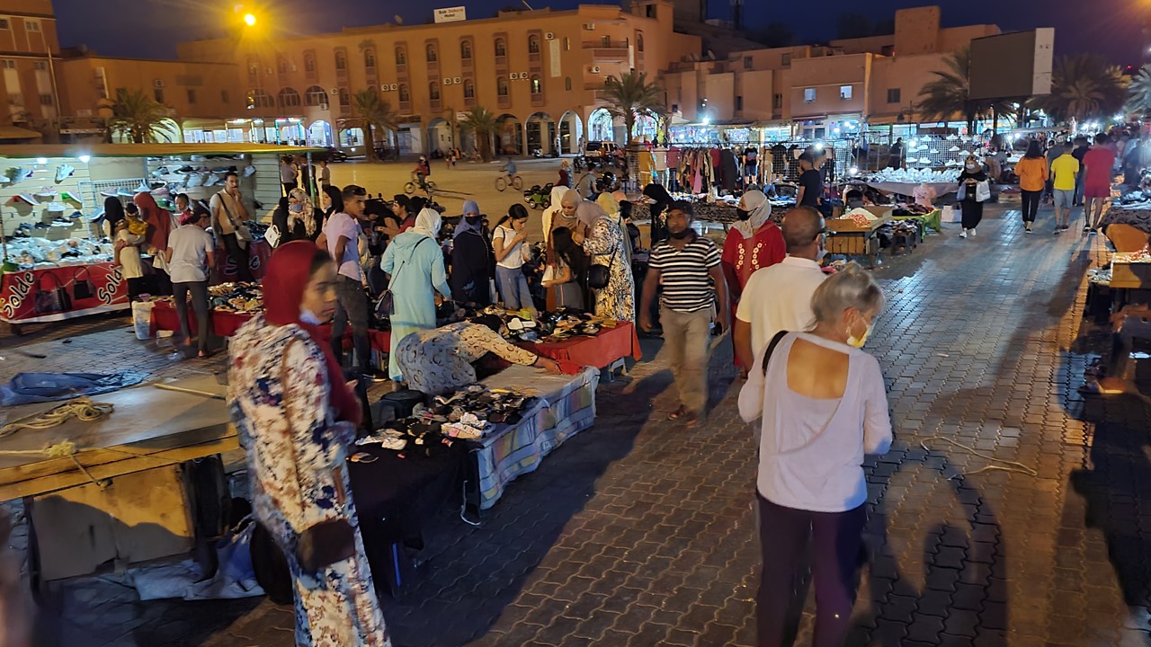
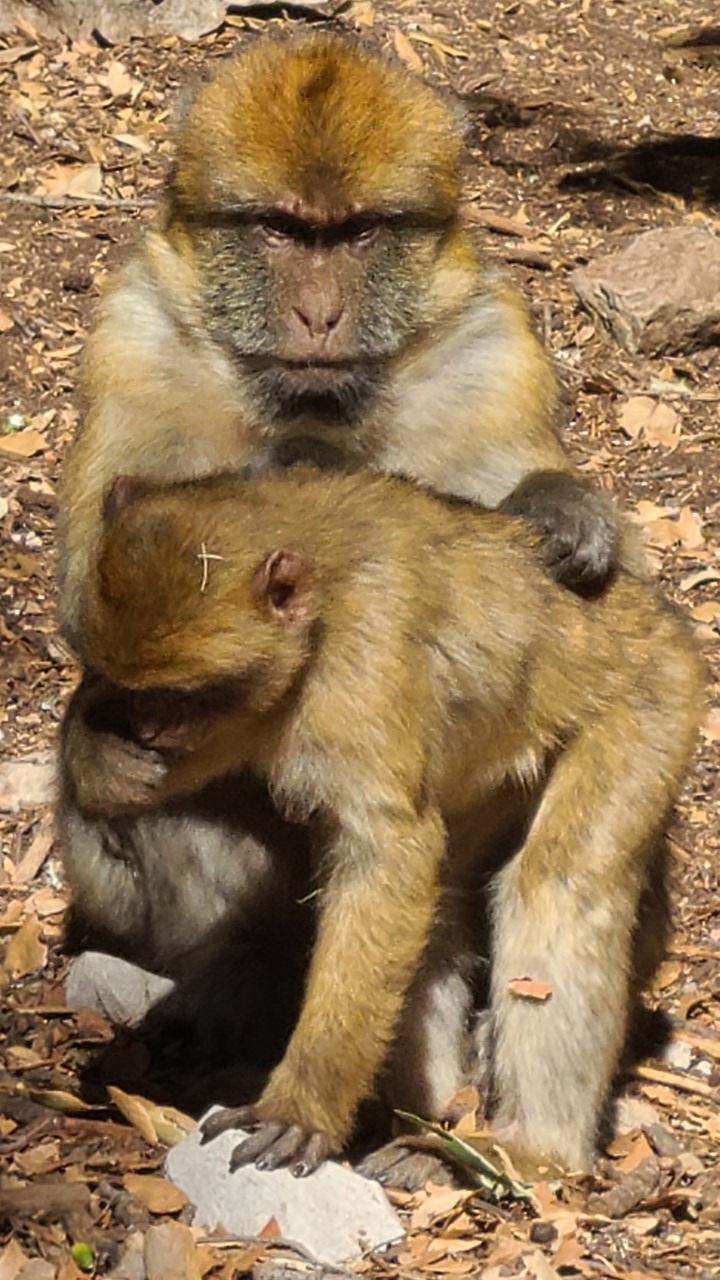
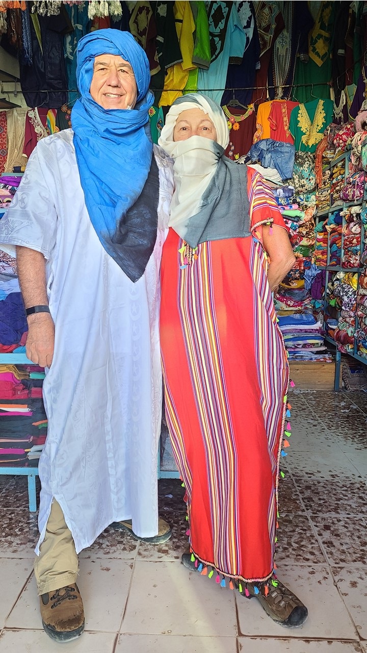
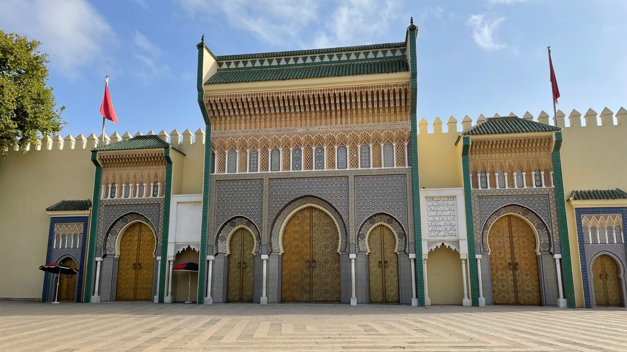
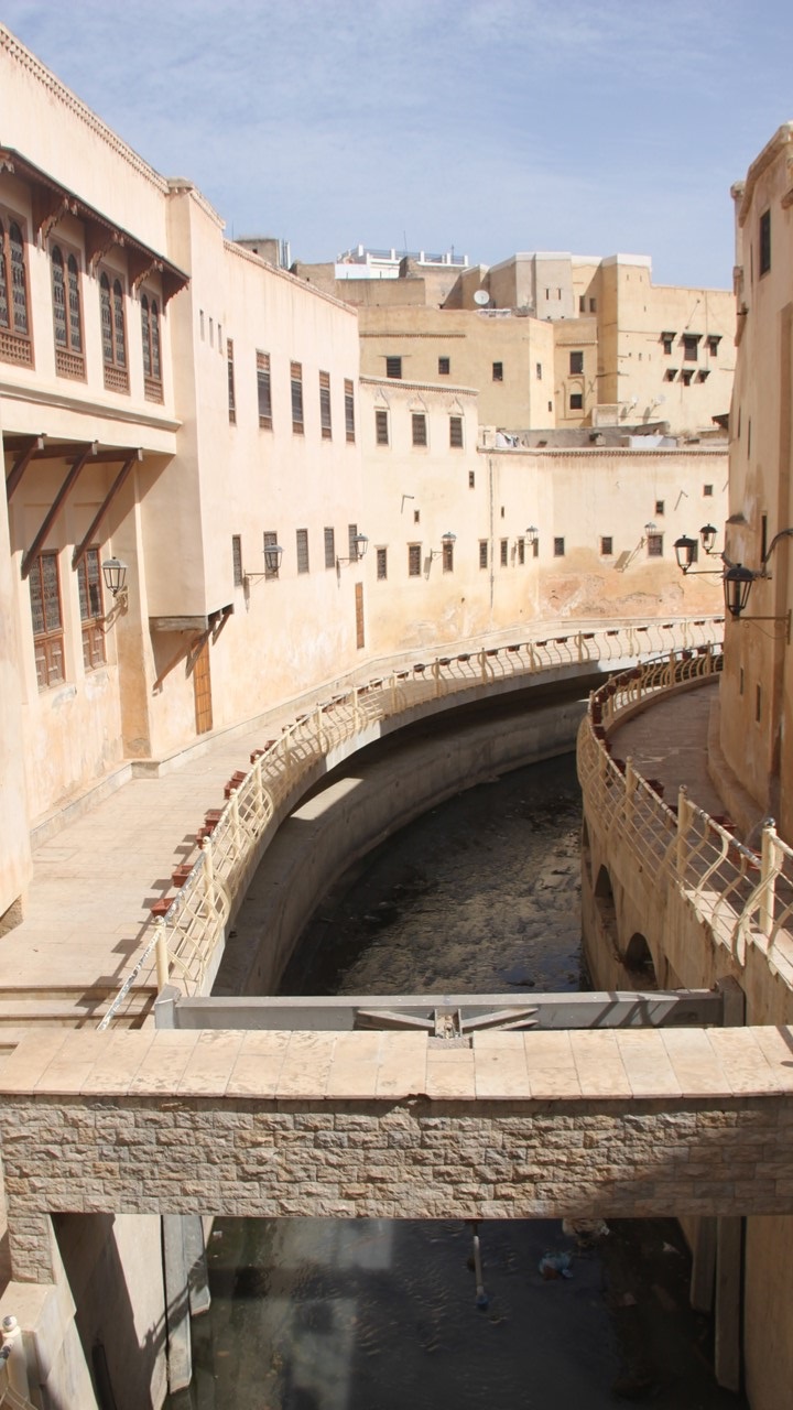
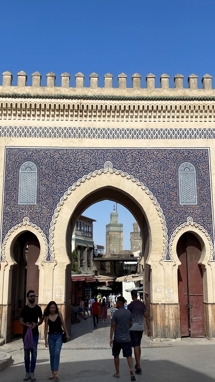
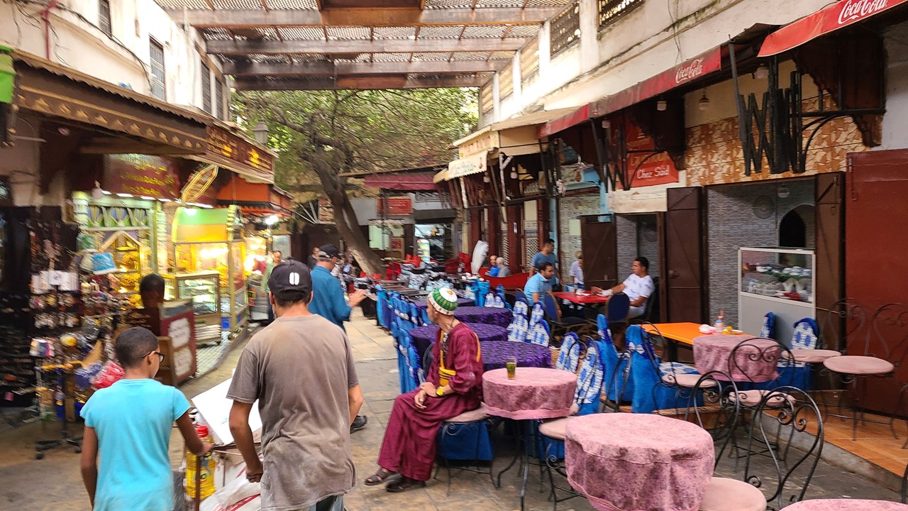
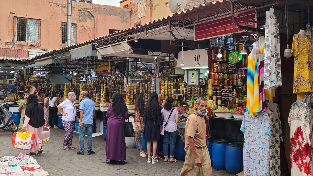
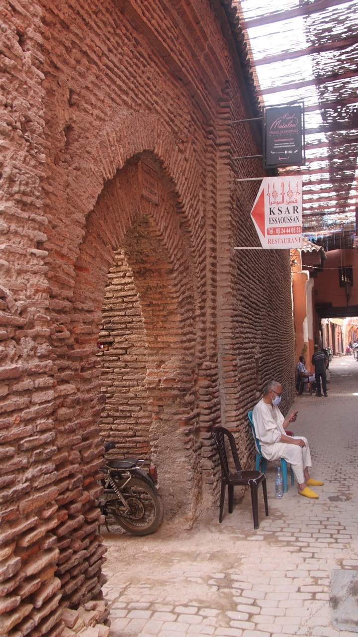
After a brief stay, we departed for our riad in Marrakesh, (the “red” city), where we had lunch of chicken skewers, rice, and veggies. Our riad, the Bahia Salam, was located in the heart of the old city and within walking distance of the souks and the old Jewish quarter. It was tucked back off a busy street but enjoyed the quiet of its flowered enclosures and rooftop terrace and pool. After lunch, we took an orientation walk with our local guide, Aziz, to the nearby square Djemaa El Fna, located at the intersection of the souks and the Koutoubia Mosque, the tallest structure in Marrakesh which will remain so by law. The name, “Djemaa El Fna” translates to “assembly of the dead”, and was in commemoration of the large number of public executions that occurred there in 1050 AD. Today, it has turned into an area that is filled with street vendors, musicians, snake charmers, and pet monkeys. Food stalls line the streets with an assortment of beggars, diners, and shoppers milling about the square. Horse-drawn carriages, motorbikes, and cars are restricted to the outskirts of the square at night and huge pedestrian traffic takes over the area.
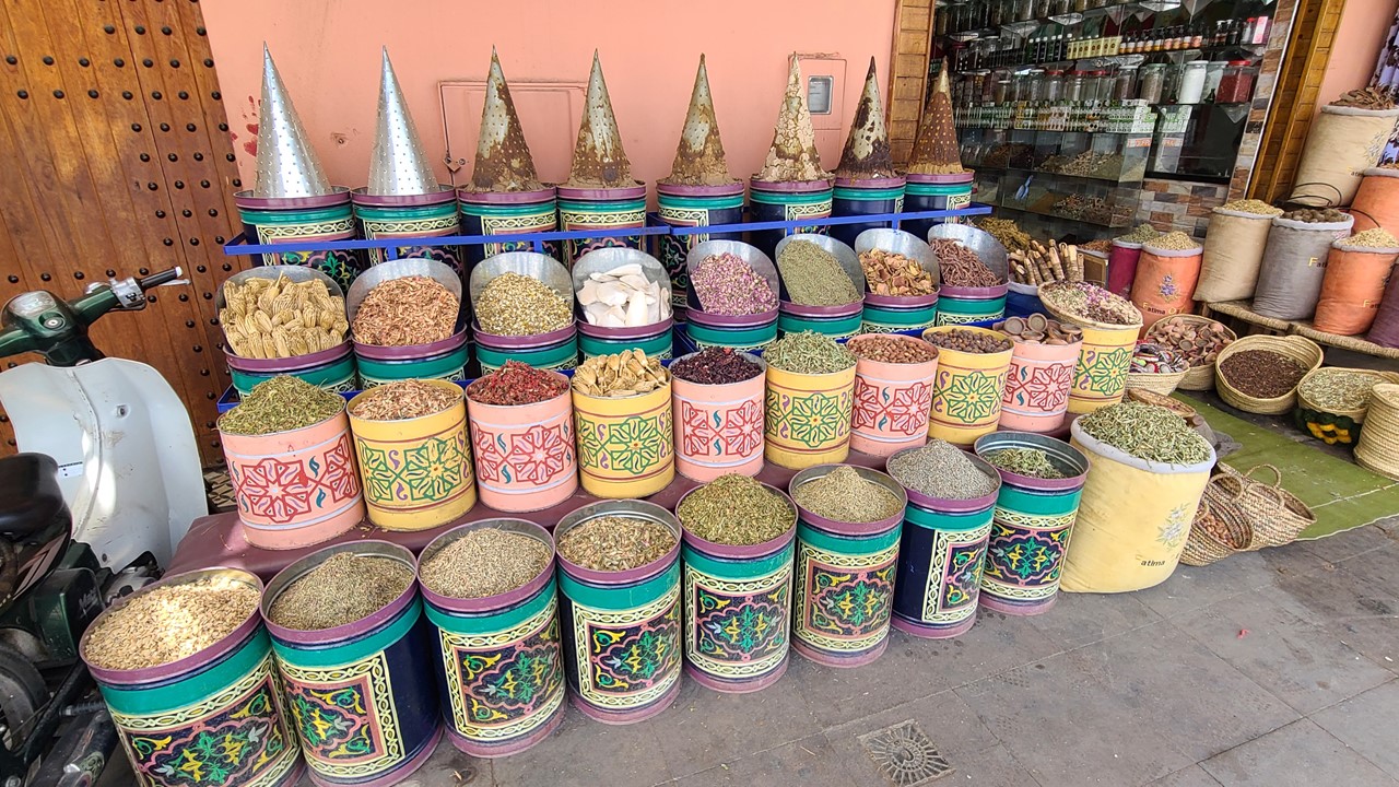
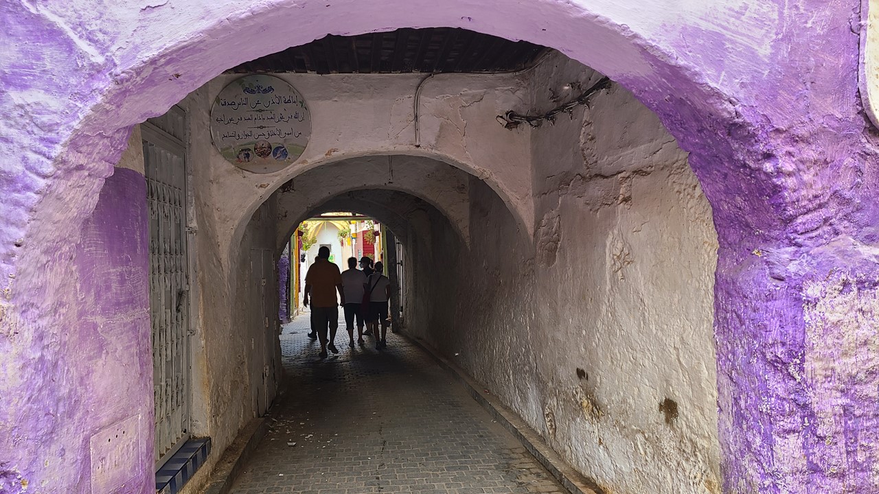
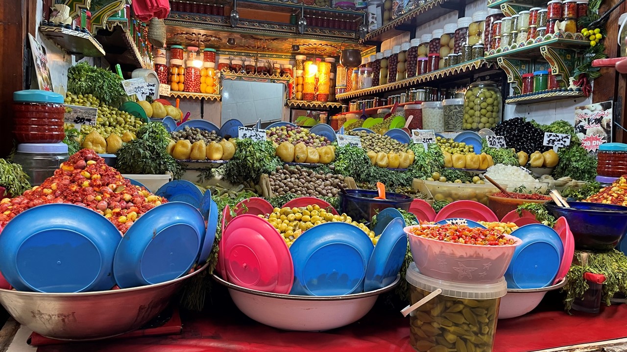
After a short walk, we entered a small custom spice shop, Medina Herbal, where different herbs and spices are used for creams and teas. Here we bought natural, organic saffron, the stigma threads taken from the flower of the Crocus Sativus plant. It is the world’s most costly spice by weight but is often sought for its flavoring and coloring properties. Then, after returning to the riad, Julie and I decide to explore the Jewish area located just a short distance away. Here we shop for spices and clothes and look for gifts that we can return home with. That night dinner was on our own, and we found some local fare to sample while wandering the maze of alleyways.

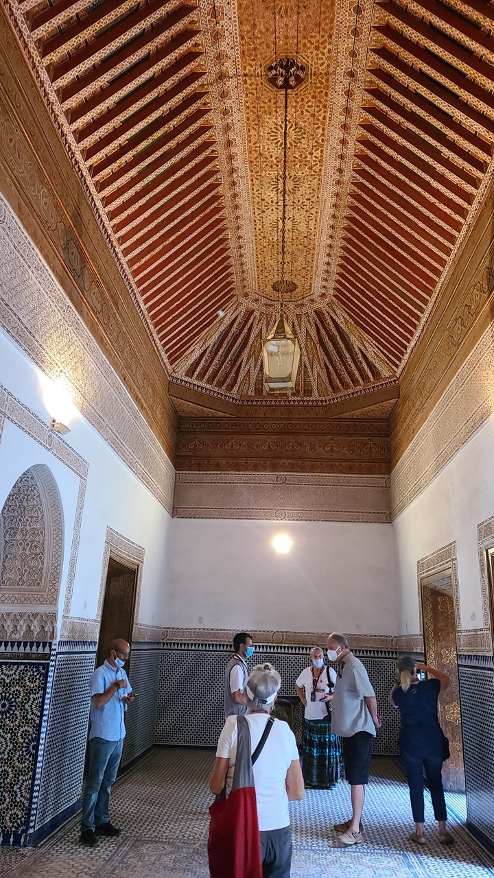
The second morning we had breakfast on the roof terrace before meeting again with Aziz for a foot tour of old city. Today was the country’s Election Day where Parliament members are selected from among 36 Political Parties. We did see a few voting lines, but no one we spoke to all day had actually voted. The King has final say on both the elected members, and on any “laws” or recommendations that Parliament might make. First, we walked to the nearby opulent Bahia Palace. This 19th-century palace houses 150 council rooms with large fireplaces and intricately painted cedar work lining the floor and walls. The open-air Court of Honor is lined with tiles and fountains. Then we walked 10-15 minutes through the souks to Le Jardin Secret, a beautifully manicured 400-year-old palatial estate featuring immaculately manicured gardens.
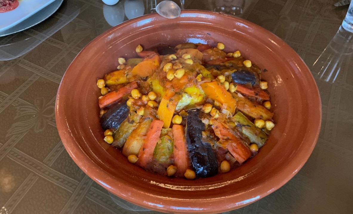
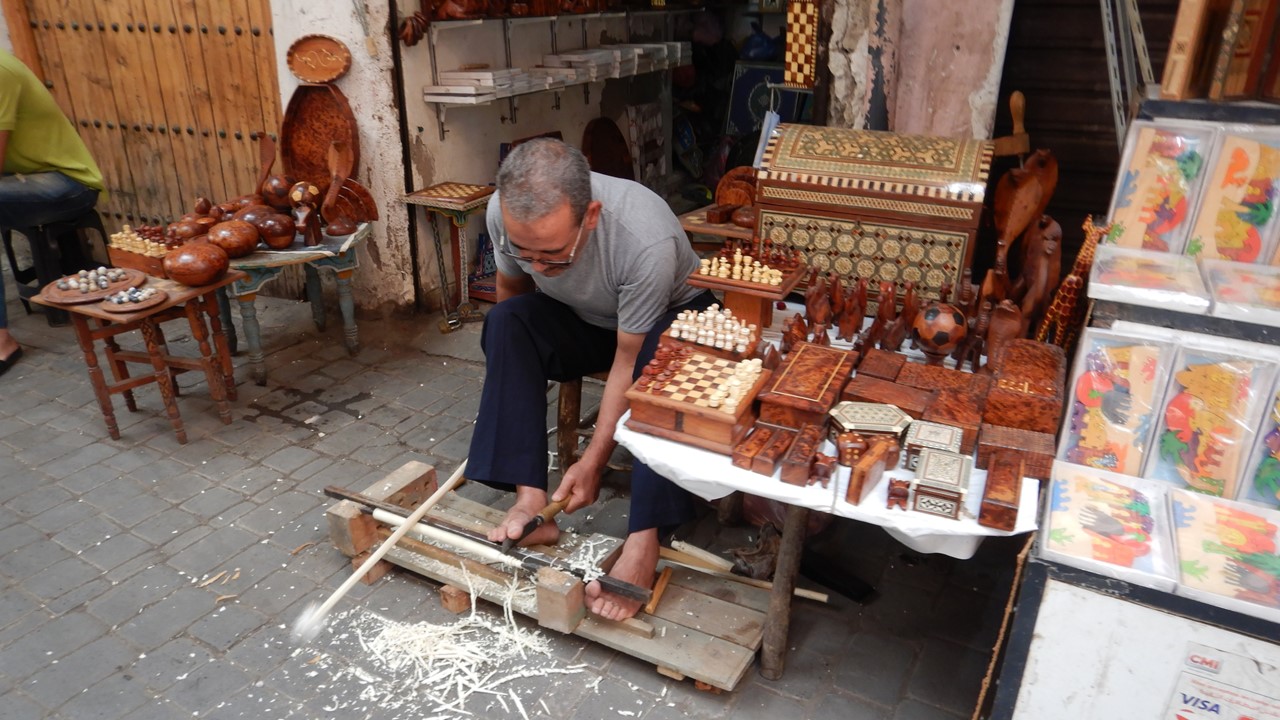
Then we traveled a complicated route to Palais Galerie Saadien, where custom Moroccan wool rugs are displayed, shopped for, and ordered. We liked the options offered and arranged to have someone meet us later at the riad to guide us back to the shop to explore an order. After that, we returned to Djemaa El Fna where we took seats in a local restaurant for a lunch of skewered grilled beef, chicken, and lamb. Then we returned to the riad for a short rest before our guide back to Palais Saadien arrived. After negotiating another complicated maze of small alleys, we returned to the Galerie where we negotiated and ordered 4 handmade Moroccan wool rugs, (including a round one), to be made by a village craftswoman with the specific colors and design we selected. It would take 4-months to create these, and another month to ship them to us in the United States. After completing the transaction, we were guided back to Djemaa El Fna from which we could find our way back to the riad, where we enjoyed a leisurely swim in the roof-top pool.
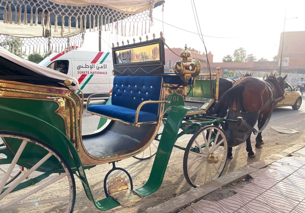
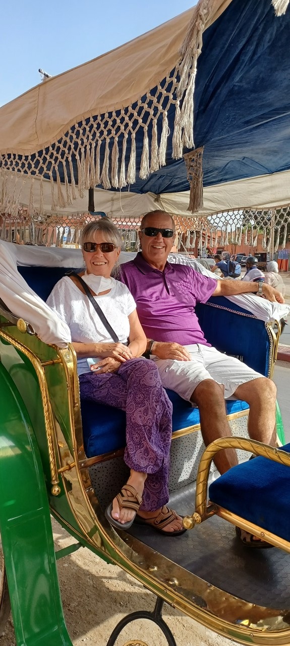
After cooling off, our travel group gathered downstairs for an adventurous tour of the city via an hour-long horse-drawn Carriage ride, in two “calleches”. The ride took us through the “old city”, past palaces and mosques and high-end shopping districts, before returning us to our riad. That night, we wandered through the medina by ourselves and eventually into the bustling Djemaa El Fna where we enjoyed a light dinner and ice cream for dessert. Thant night we sat beside the pool on the roof and enjoyed a glass of our local wine and the city bustled below.
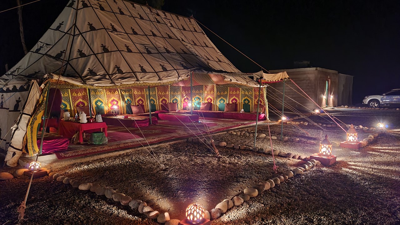
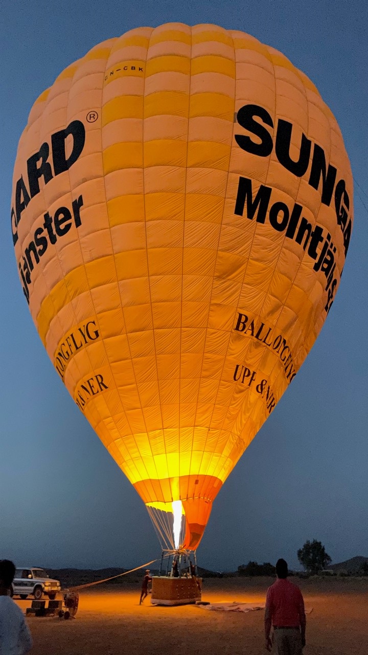
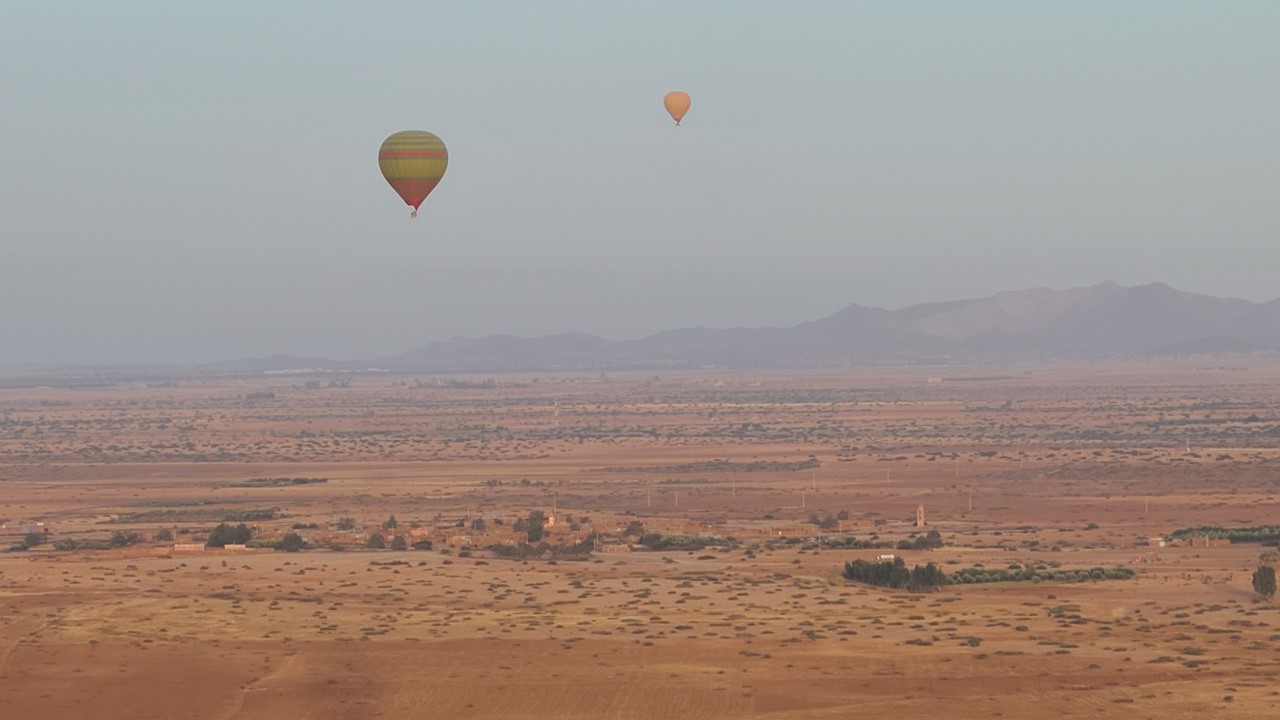
Thursday morning would begin our last day in Marrakesh, and we started it by arising at 4:30am and catching a hired limousine for the 45-minute drive out of town to the far edge of Marrakesh. Here, we exited in the dark to a large tent where we enjoyed tea while receiving a safety briefing and instructions for our upcoming sunrise hot-air balloon ride. After watching the balloons fill and arise, we boarded and began our ascent into the pre-dawn light sky. The balloon basket held 16 guests – quartered off into 8 compartments – plus the pilot. Our pilot was an Egyptian man who had flown tourists on balloons in Egypt, Turkey, Kenya, and South Africa, and who was so adept at the controls that we hardly noticed any ascents or descents, or even the landing. While floating along between 4000 and 6000 feet high, we watched the sun rise over Marrakesh and the Atlas Mountains, while watching 3 other balloons jockey for viewpoints beneath us. After landing, we returned to the tent where we were given certificates and enjoyed a breakfast of omelets, pancakes, cheese, and fruit, while sipping on tea and banana smoothies.
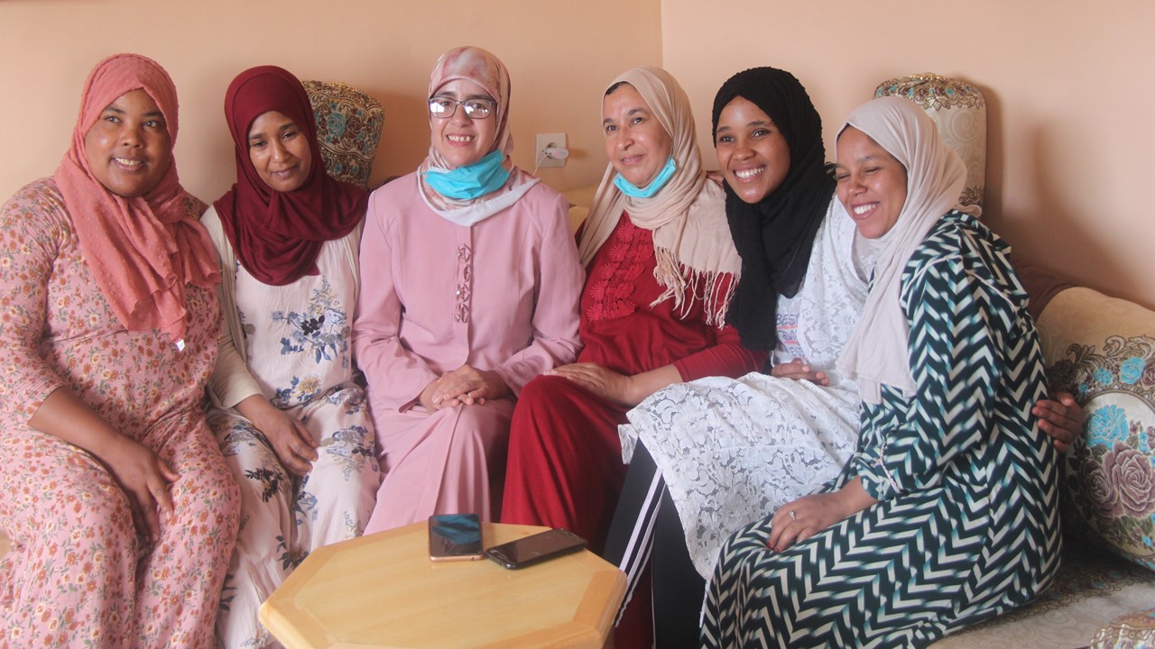
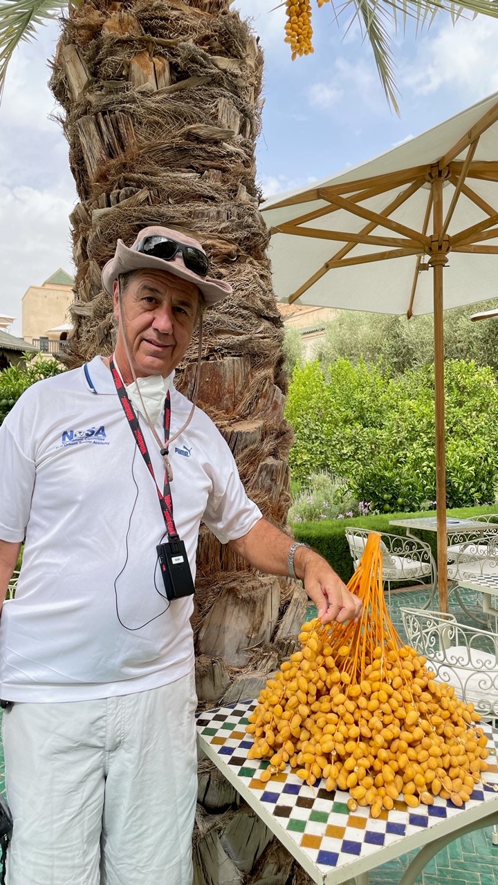
We then returned to the riad and went shopping in the souks looking for souvenirs and a painting that would fit a particular frame in our Florida bedroom. Luckily, we found an artist who had the right shapes and colors of a desert scene that we loved and negotiated for its purchase. While out, we found some lunch before returning to the riad for another relaxing swim in the pool. Then, in the afternoon, we gathered for a short ride to meet with Chaimae Benyamna, a female medical student whose scientist parents supported her pursuit of such an untraditional western lifestyle. We discussed challenges she has faced and that she continues to face in her aspiration of becoming a woman gynecologist in a country where the profession is dominated by men. After our discussion, we traveled to “The Red House”, a former lavish French home that has been converted into a very classy boutique hotel and restaurant where we enjoyed our trip’s “Farewell Dinner”. Here we had cocktails and petit fours, followed by squab with raisins and spice orange cake for dessert. We ended the evening with toasts and “Thank You’s” before making the trip back to our riad for our last night in Marrakesh.